How drone mapping and 3D site models are transforming construction projects
Written by Mark Zaccaria from MZ Photography and Drone Services Ltd
In today’s construction industry, time, accuracy, and clear communication are everything. Delays, repeated site visits, and misunderstandings between contractors and suppliers can quickly add unnecessary cost to a project.
This is where drone technology and 3D site modelling are making a real difference.
At MZ Photography & Drone Services, we work with construction companies to provide accurate drone surveys and detailed 3D site models that help streamline planning, improve collaboration, and ultimately save time and money.
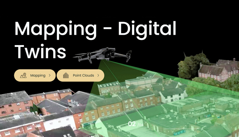
See the site before work even begins
One of the biggest advantages of drone mapping is the ability to create a full 3D model of a site before any works start. This digital model gives everyone involved a clear, shared understanding of the site layout, constraints, and access routes — without needing to physically be there.
These models can be securely shared online with:
- Contractors
- Engineers
- Architects
- Suppliers
- Project managers
This means fewer assumptions, fewer surprises, and better decision-making from day one.
Fewer site visits, lower costs
Traditionally, multiple site visits are required during the planning and pre-construction stages. With a high-resolution 3D model, many of these visits can be avoided altogether.
Teams can:
- Explore the site remotely
- Review access points and logistics
- Identify potential issues early
- Measure distances and areas directly within the model
This saves travel time, fuel costs, and labour hours, while allowing teams to focus their time where it’s most valuable.
Online meetings with a shared 3D view
A major benefit of drone-generated site models is the ability to host online meetings where everyone views the same 3D model at the same time. Instead of trying to interpret drawings or photographs, stakeholders can visually walk the site together.
This improves:
- Communication
- Understanding across teams
- Speed of decision-making
- Issues can be discussed and resolved quickly, with everyone literally looking at the same thing.
Accurate measurements you can rely on
Drone mapping isn’t just visual — it’s highly accurate. Our surveys typically achieve measurement accuracy between 2–5cm, making them suitable for:
- Site measurements
- Volume calculations
- Planning layouts
- Progress tracking
This level of accuracy reduces errors and rework, helping projects stay on schedule and within budget.
Improved safety and site awareness
A 3D site model also provides valuable insight into the surrounding environment. You can clearly see:
- Access routes from all sides of the site
- Nearby residential buildings
- Schools or public areas close to vehicle access points
This allows construction teams to plan deliveries and site access more safely, helping reduce risk — particularly where large vehicles are operating near the public or school children.
A smarter way to plan and build
Drone surveys and 3D site modelling are no longer a “nice to have” — they are fast becoming an essential tool for modern construction projects. By improving visibility, accuracy, and collaboration, they help companies work smarter, reduce costs, and deliver better outcomes.
If you’d like to see how drone mapping could support your next project, MZ Photography & Drone Services would be happy to help. Drone Mapping and 3D Models